
Kaua‘i field project - August 2026
August 25, 2026
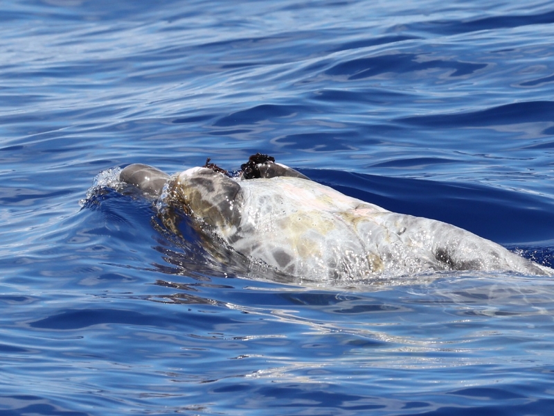
Researchers from Cascadia Research Collective are conducting a 9-day field session off Kaua'i to deploy LIMPET satellite tags on odontocete cetaceans prior to a Submarine Command Course (SCC) to be able to examine their behavior before, during, and after the training event. Click on the image below to see daily updates from the field.
Another CEE Trial – and Gervais’ beaked whales!
August 10, 2026
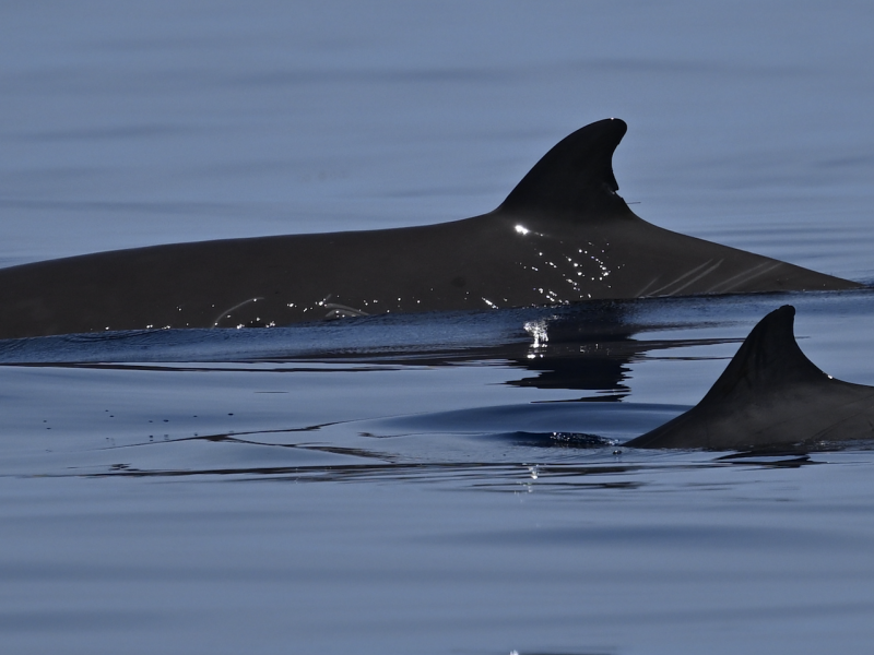
A second controlled exposure experiment trial with simulated Continuously Active Sonar (CAS) was conducted on August 1. In addition to the usual goose-beaked whales, we also had a sighting of less common Gervais' beaked whales.
First CEE Trial of 2026 – and False Killer Whales
July 23, 2026
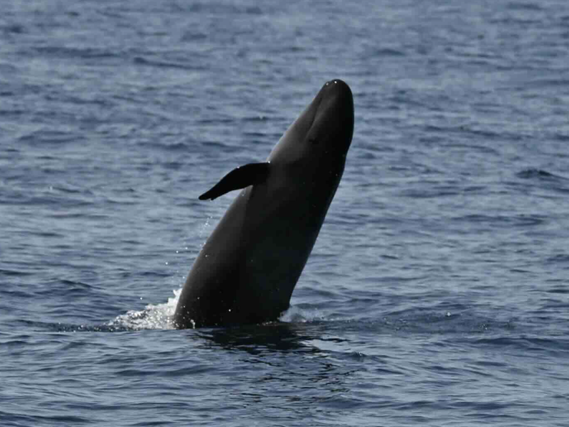
The Atlantic BRS team had an extremely productive day on Friday, July 17th with tags deployed on both false killer whales and goose-beaked whales, as well as a successful controlled exposure experiment with simulated Continuous Active Sonar signals.
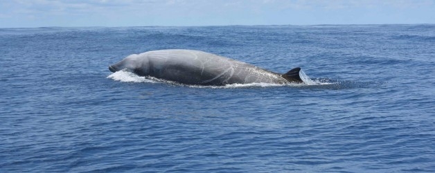
Atlantic BRS - First CEE of 2021
August 9, 2021
A team of researchers and Navy staff recently completed the first controlled exposure experiment of the 2021 field season for the Atlantic Behavioral Response Study.
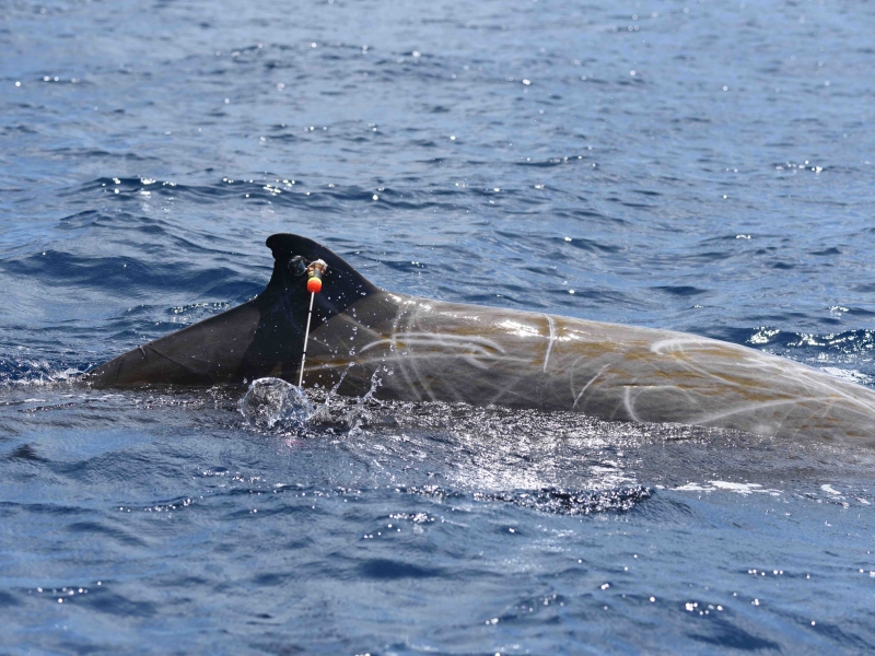
Atlantic Behavioral Response Study kicks off 2021 field season
July 13, 2021
The Atlantic Behavioral Response Study kicked off the 2021 field season last week by deploying the first round of satellite-linked telemetry tags on Cuvier's beaked whales.
Atlantic BRS - First CEE of 2020
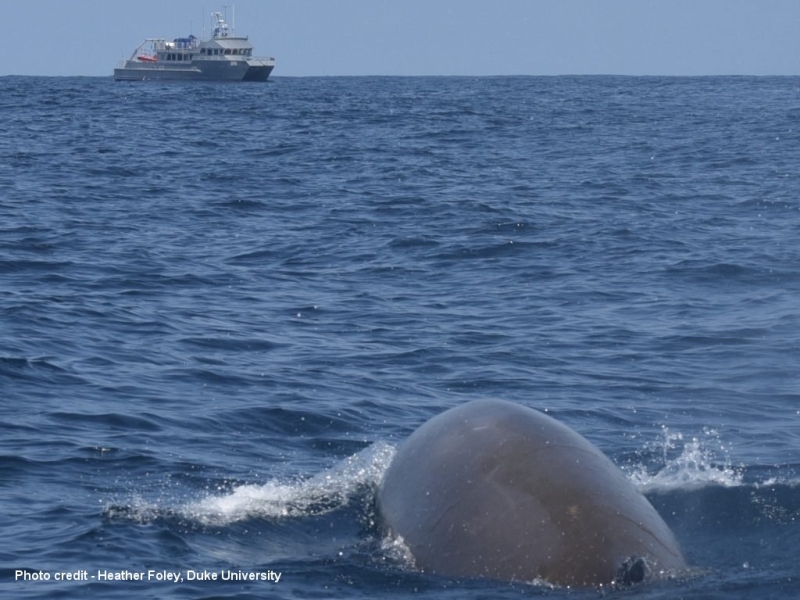
July 17, 2020
The first CEE of 2020 overcame the challenges of COVID-19.
Atlantic BRS - Multi-scale CEE Success!
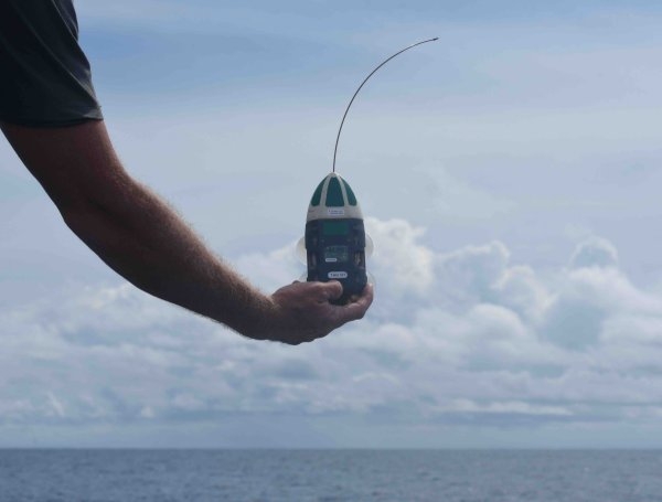
August 15, 2019
The first CEE while two different tag types were deployed.
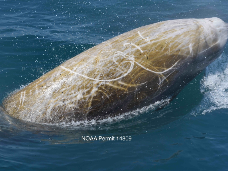
Atlantic BRS 2018 Field Work is Underway
May 18, 2018
The 2nd year of Atlantic BRS has begun.
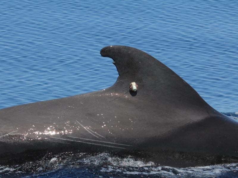
Atlantic BRS 2017!
May 22, 2017
The Atlantic BRS efforts are underway.
Current
Monitoring Cetaceans in Hood Canal
Project Objectives
This 12‑month integrated pilot project combines three complementary components: (A) shore‑based theodolite monitoring of harbor porpoises, (B) high‑bandwidth passive acoustic monitoring and soundscape characterization, and (C) suction‑cup multi‑sensor tag deployments on Bigg’s (transient) killer whales. Together, these data streams will quantify occurrence, movement, diving, and behavioral context for these two key species in relation to the local soundscape—including operational signals near the Dabob Bay Range Complex (DBRC) and the Bangor Trident Base. Results can provide an empirical foundation and inform the study design of future cetacean behavioral response studies (BRS) in Hood Canal.
Complete
Behavioral Response Research Evaluation Workshop II (BRREW II)
Project Objectives
Response
More details
Collapse details
Date Published:
Filesize:
- April 1, 2018
Five species of sea turtles occur in Chesapeake Bay and the coastal waters of Virginia with varying regularity. They include the loggerhead turtle (Caretta caretta), Kemp’s ridley turtle (Lepidochelys kempii), green turtle (Chelonia mydas), leatherback turtle (Dermochelys coriacea), and hawksbill turtle (Eretmochelys imbricata) (Musick and Limpus 1997). Loggerhead and Kemp’s ridley turtles are the most abundant and regularly occurring species, and green turtle numbers have increased over the past two decades in Virginia (Barco et al. 2015, Swingle et al. 2014, 2015, 2016).
- 1,259.42 KB
More details
Collapse details
Date Published:
Filesize:
- April 1, 2014
The goal of the project is to assess the occurrence, habitat use, and behavior of loggerhead, green, and Kemp's ridley turtles in the Hampton Roads region to better assess the impacts that U.S. Navy activities may have on these protected species.
- 1,337.08 KB
More details
Collapse details
Date Published:
Filesize:
- February 28, 2015
The ultimate goal of this study is to provide the US NAVY with the necessary data to help identify seasonal areas where cheloniid sea turtles are likely to occur in order to inform DOD sea turtle protection efforts. This project focuses on the three cheloniid sea turtle species commonly seen in Virginia, which are the loggerhead sea turtle, Kemp’s ridley sea turtle, and green sea turtle (Hager 2014).
- 6,910.62 KB
More details
Collapse details
Date Published:
Filesize:
- March 1, 2019
Kemp’s Ridley Tagging and Tracking in Chesapeake Bay and Costal Waters of Virginia: Final Report
- 285.40 KB
More details
Collapse details
Date Published:
Filesize:
- June 1, 2017
The goal of this report is to provide the United States (U.S.) Department of the Navy (Navy) with the necessary data to help identify seasonal areas where Kemp’s ridley and green turtles are likely to occur in order to inform Navy environmental planning efforts.
- 1,296.69 KB
More details
Collapse details
Date Published:
Filesize:
- February 1, 2022
In 2013, under an inter-agency agreement (IAA) between the United States Navy and the National Oceanic and Atmospheric Administration (NOAA), NOAA began conducting in-water surveys to record and quantify observations of marine turtles around the Mariana Archipelago. When observed, attempts were made to hand-capture turtles and equipthem with satellite tags in an effort to better understand their spatial ecology.
- 349.81 KB
More details
Collapse details
Date Published:
Filesize:
- February 1, 2021
The United States Navy developed monitoring questions for the Mariana Islands Training and Testing (MITT) study area under the Mariana Islands Range Complex Monitoring Plan (MIRCMP), including questions specifically related to marine turtles as required under the Endangered Species Act (ESA) of 1973. To support the needs of the U.S. Pacific Fleet Environmental Readiness Office, the Marine Turtle Biology and Assessment Program (MTBAP) of the National Oceanic and Atmospheric Administration (NOAA) has been conducting research on marine turtle abundance and spatial-temporal ecology in the nearshore waters of Saipan, Tinian, and Guam since 2013, under a series of Interagency Agreements (IAA).
- 674.99 KB
More details
Collapse details
Date Published:
Filesize:
- January 1, 2024
Understanding the spatio-temporal movements of animals is an integral component of wildlife conservation and management. Sea turtles are species of conservation concern and satellite telemetry is a primary research tool used to study their movements, providing high accuracy location data in near “real time,” thus facilitating rapid identification of movements and key habitats.
- 5,706.75 KB
More details
Collapse details
Date Published:
Filesize:
- January 1, 2020
Understanding the spatio-temporal movements of animals is an integral component of wildlife conservation and management. Marine turtles are species of conservation concern and satellite telemetry is a primary research tool used to study their movements, providing high accuracy location data in near “real time”, thus facilitating rapid identification of movements and key habitats.
- 5,020.67 KB
More details
Collapse details
Date Published:
Filesize:
- September 19, 2024
This report presents a geographic information system (GIS)-based overview of the sighting records obtained during marine species monitoring effort (a total of 12 U.S. Pacific Fleet-funded surveys) to date in the MIRC. Also included are incidental marine mammal and sea turtle sightings made since 1965 on non-dedicated surveys in the region.
- 14,571.64 KB
More details
Collapse details
Date Published:
Filesize:
- February 1, 2013
A long-term goal of this research is the evaluation of the population status of each cetacean stock. This includes producing population abundance estimates using mark-recapture techniques. The first step in the process is the creation of species photo-identification catalogs, which began during the summer of 2012
- 2,353.37 KB
More details
Collapse details
Date Published:
Filesize:
- March 2, 2017
The Pacific Islands Fisheries Science Center’s (PIFSC) Cetacean Research Program (CRP) has been conducting visual surveys and long-term acoustic monitoring for cetaceans in the waters surrounding Guam and the Commonwealth of the Northern Mariana Islands (CNMI) as part of an ongoing effort to develop a record of cetacean occurrence in the region. Visual surveys have been conducted aboard small boats (7.6-12.2 m) since 2010 off the southernmost islands of the Mariana Archipelago (Guam, Rota, Saipan, Tinian, and Aguijan). These surveys include the collection of photographs for individual identification, tissue samples for genetic analysis of population structure, and the deployment of satellite tags for assessment of individual movements throughout the broader region
- 2,999.73 KB
More details
Collapse details
Date Published:
Filesize:
- January 31, 2013
The U.S. Navy developed the Mariana Islands Range Complex (MIRC) Monitoring Plan to provide required monitoring of protected species under the Marine Mammal Protection Act (1972) and the Endangered Species Act (1973). Of the 5 species of sea turtle associated with the MIRC this interim report provides preliminary data on the habitat and movements of green turtles (Chelonia mydas) and hawksbill turtles (Eretmochelys imbricata) in the nearshore waters of Saipan, Tinian, Guam – and the waters in between during migration.
- 1,200.48 KB
More details
Collapse details
Date Published:
Filesize:
- January 15, 2016
This report summarizes field research activities conducted in November 2015 by the PIFSC Marine Turtle Biology and Assessment Program (MTBAP), in collaboration with local partners on Saipan and Guam
- 924.60 KB
More details
Collapse details
Date Published:
Filesize:
- May 1, 2014
There are two questions from the FY13-15 Monitoring Plan that primarily guide this project. First, are there locations of greater cetacean and/or sea turtle concentration around Guam, Saipan and Tinian? Second, what is the occurrence and/or habitat use of sea turtles in areas that the Navy conducts underwater detonations?
- 1,874.51 KB
More details
Collapse details
Date Published:
Filesize:
- September 1, 2015
Sea Turtle Tagging in MIRC (Progress Report) -2014 progress report
- 2,020.53 KB
More details
Collapse details
Date Published:
Filesize:
- December 15, 2016
This report summarizes field research activities conducted between 23 October and 24 November 2016 by the PIFSC Marine Turtle Biology and Assessment Program (MTBAP), in collaboration with local partners on Saipan and Guam
- 2,422.75 KB
More details
Collapse details
Date Published:
Filesize:
- January 31, 2019
The overall objective is to collect field data that will enable the Navy and the NMFS to better understand the distribution and habitat use of sea turtles in Guam and the CNMI.
- 3,376.54 KB
More details
Collapse details
Date Published:
Filesize:
- January 31, 2018
The Marine Turtle Biology and Assessment Program (PIFSC, NOAA Fisheries), together with local partners, conducts marine turtle surveys and in-water captures of green turtles (Chelonia mydas) and hawksbill turtles (Eretmochelys imbricata).
- 3,653.04 KB
More details
Collapse details
Date Published:
- January 10, 2016
More details
Collapse details
Date Published:
Filesize:
- August 1, 2007
The objective of Mariana Islands Sea Turtle and Cetacean Survey (MISTCS) was to conduct the first systematic line-transect visual survey of the waters around Guam and the Northern Mariana Islands and generate density estimates for those species which had adequate data.
- 6,725.14 KB
More details
Collapse details
Date Published:
Filesize:
- August 31, 2011
The goal of this initial phase is to process and compile available data from visual surveys performed by both contractor‐led efforts as well as Navy in‐house ones, such that: 1. A GIS‐based summation of all survey tracks could be visualized 2. A geo‐referenced database of sightings can be queried to visualize sightings by species or survey variables such as observer platform, sea state, or season
- 2,020.33 KB
No related presentations or posters to display
